FAQs
- provide continuity of the existing bikeway treatment along Wood and Weller streets, and increase the legibility of the strategic bicycle route.
- provide the greatest level of improvement and comfort for bike riders (noting there is some separation from traffic and bike riders bypassing the speed humps).
- provide greater separation from vehicles to encourage participation by the targeted ‘interested but concerned’ bike riders.
- provide some level of increased amenity and landscaping.
- provide an effective solution to calm traffic / reduce vehicle speeds. An evaluation of the Wood Street upgraded slow points showed a reduction in vehicle speeds of about 22 percent from 45.7 km/h in 2012 to 37.6 km/h in 2017.
- produces a fairly uniform (and low) speed environment along the road, which is a key design and safety feature of the Wood-Weller Street Bicycle Route; and
- minimises the repeated vehicle acceleration and braking which would occur with longer spacing of slow points.
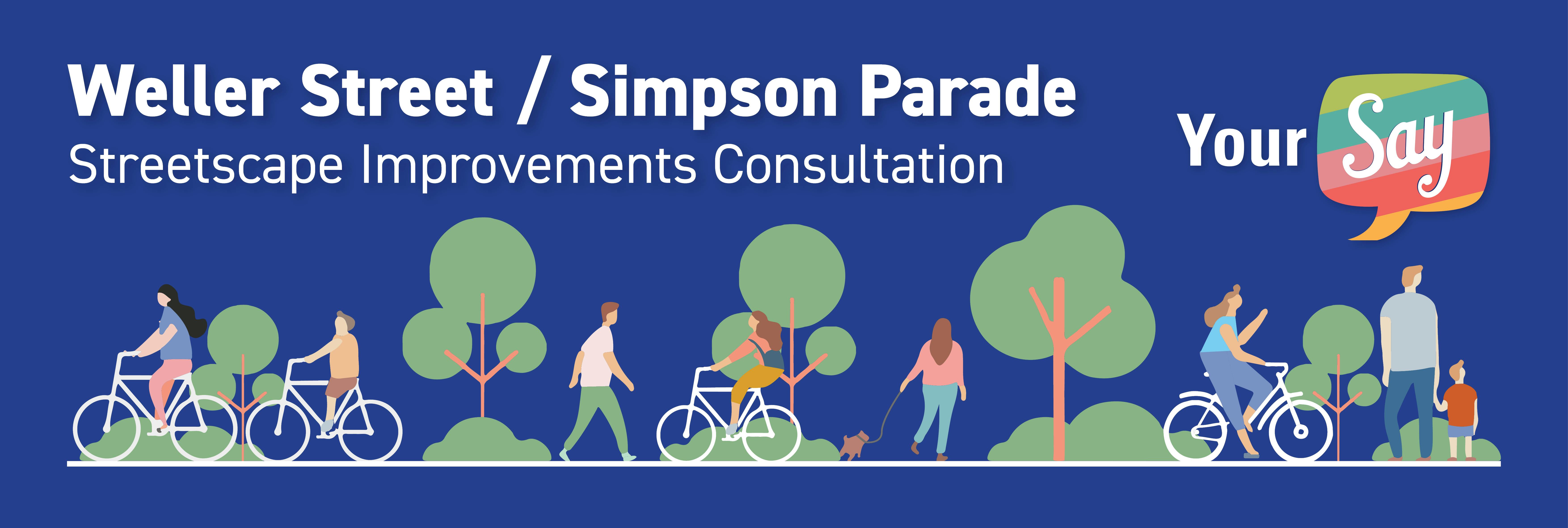
What is the Wood-Weller Street Bicycle Route?
The Wood-Weller Street Bicycle Route is a strategic north-south route identified in the City of Unley’s Walking and Cycling Plan. It links the City of Mitcham to the south at Cross Road and Mike Turter Bikeway and Charles Walk to the north. The bicycle route provides a parallel north-south alternative to the busy King William Road. The Woo-Weller Street bicycle route has progressively been implemented since 2016, with this section of Weller Street (north of Albert Street) and Simpson Parade being the final section.
What are slow-points?
Slow points are local area traffic management devices aimed at reducing rat-running and lowering vehicle speeds on residential streets to improve conditions for the local community and encourage more people to walk and bike ride. The slow points proposed for this project will be similar to the slow points recently installed along Weller Street between Mitchell Street and Albert Street, and will include a bicycle bypass to improve accessibility for bike riders, as well as landscaping to improve public amenity.
Why were ‘slow point’ identified as the preferred traffic calming treatment?
Slow points for this section of bicycle route were identified as the preferred treatment as they:
How were the slow point locations determined?
The slow point locations were designed in accordance with the design requirements outlined in the Department of Infrastructure and Transport’s Code of Technical Requirements and Australian Standards (AS 1742.13, Part 13 Local Area Traffic Management).
DPTI’s Code of Technical Requirements, which is the legal design document used in South Australia, requires spacings of the slow points between 90m and 100m except for the first device which should be located within 50m of the start of the road so that the approach speed is naturally low.
The spacing of 90m to 100m in DPTI’s Code of Technical Requirements is recommended as it:
With Weller Street between Albert Street and Simpson Parade being about 170 metres in length, and Simpson Parade being about 235 metres in length, one (1) slow point on Weller Street and two (2) slow points on Simpson Parade was considered appropriate.
The preferred slow point locations, and as shown on the concept designs, also considered side road and driveway locations, and parking impacts.
What is the parking impact associated with this project?
While efforts were made to minimise the loss of on-street parking, unfortunately to accommodate the slow points, and to create a safer environment for all street users, the project will result in the loss of ten (10) on-street parking spaces. One (1) space on Weller Street and nine (9) spaces on Simpson Parade.
The parking occupancy along Weller Street and Simpson Parade ranges between 13 and 36 per cent throughout the day, and therefore it is considered that there will continue to be ample parking capacity with the proposed streetscape improvements installed.
What intersection improvements are proposed at King William Street and Simpson Parade?
The intersection improvements will be aimed on improving sight lines and accessibility for all street users, with a focus on the management of the existing landscaping adjacent the culvert and possible relocation of bus stop ‘3-West side’.
How long does the consultation go for?
Consultation on the proposed streetscape improvements will be open until Wednesday 4 November 2020 (3 weeks).
What happens with my feedback?
At the completion of the consultation, all feedback will be reviewed and analysed. The concept designs will be refined where appropriate. The feedback and any concept design refinements will be presented at the November 2020 Council meeting.
The aim is to commence detailed design in December 2020, and seek funding from Council to deliver on the project as part of its Annual Business Plan 21-22.